September 25, 2021
A couple weeks after returning from my first solo camping trip, I needed to get out for another hike. I decided to try a different trail that leaves from the same trailhead as the famed Cedro Creek Nature Trail.
Enter the Otero Canyon to Blue Ribbon Trail
The day begun with a plan to hike a trail higher up the east side of Sandia mountain, but going that direction was tough going- there was a foot race coming west the entire time I was on Central past Tramway, then up highway 14. When I thought I’d finally see some relief by turning up Sandia Crest Rd, I was confronted with a barrier reading Road Closed.
In a fury, I made a u-turn and headed back into Tijeras. I knew there were a few trails departing from the aforementioned trailhead. I thought I’d try my luck there.
Trail Stats
AllTrails lists the Otero Canyon to Blue Ribbon Trail as a moderate 5.5 mile loop hike with a 610 foot elevation gain.
And Off I Went
I parked in the familiar parking lot where I’d left for the Cedro Creek Nature Trail five times before (and twice since.) I headed down the decline toward the trailhead proper and set off on my way.
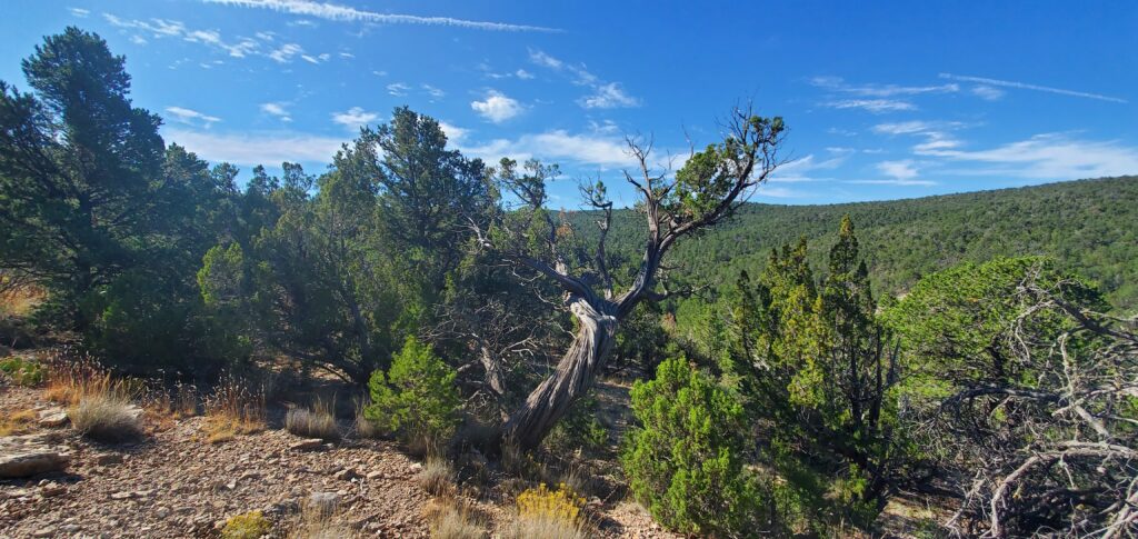
It was a nice day. Clear, warm but not hot. The setting was familiar at first. I didn’t expect it to be much different, however as I peaked out at just over a mile and a half in, I found myself nearly 1,000 feet higher than the high point of the familiar trail. I had vast views in all directions as I hiked along the crest of the 7,300 foot mountain upon which I found myself.
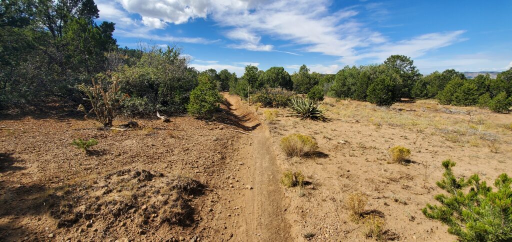
A Change in Scenery
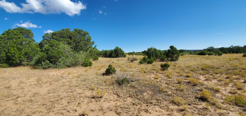
As I hiked along, I noticed a very sudden change in scenery. Where I was once surrounded by the familiar pines, junipers and aspens I’d encountered on many hikes in the state, I found myself in a vast southwestern meadow. Not many trees, nor grass, even, to speak of.
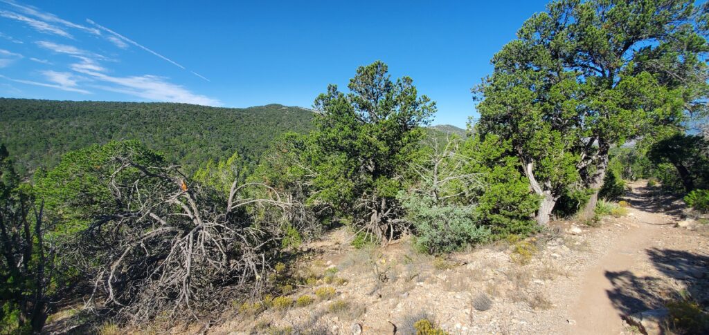
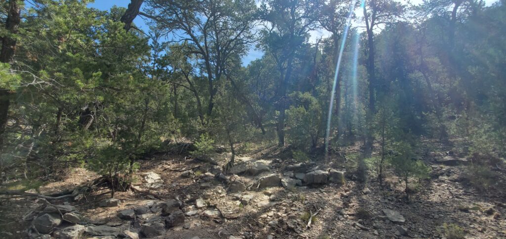
I continued along, with unobstructed views all around until the trail went through this little doorway:
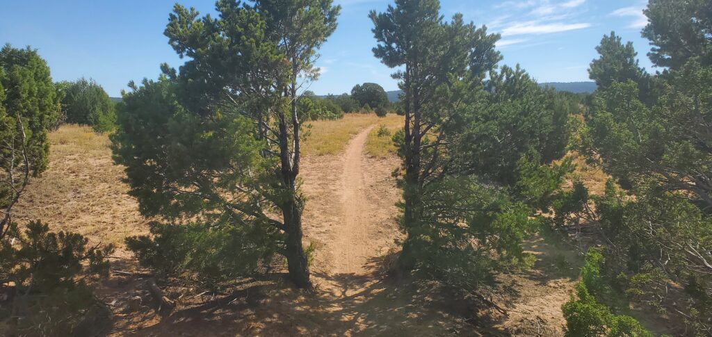
It was quite odd to say the least to see these trees growing in such a manner.
I walked between the trees an nothing happened. I wasn’t transported into an alternate dimension or anything, and my friends still acknowledge my existence, so perhaps they are indeed just trees growing on either side of the trail.
The Descent
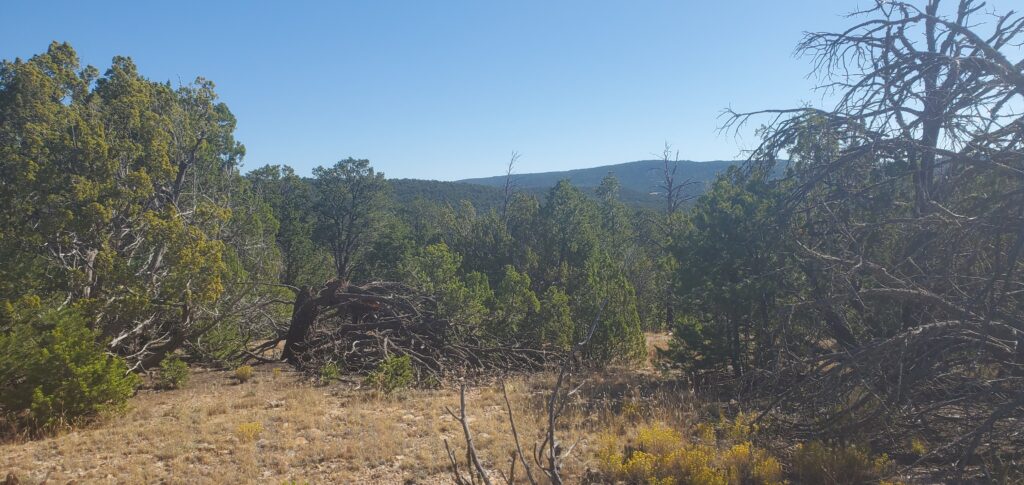
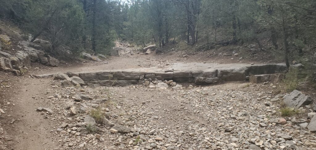
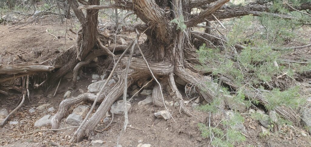
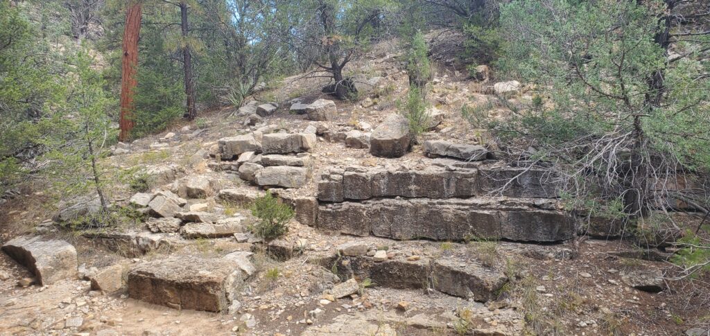
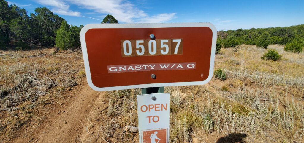
After plugging away at elevation for another mile and a half or so, I began the descent down into the canyon for the remainder of the hike. I have to say, the trail was a bit Gnasty for a bit:
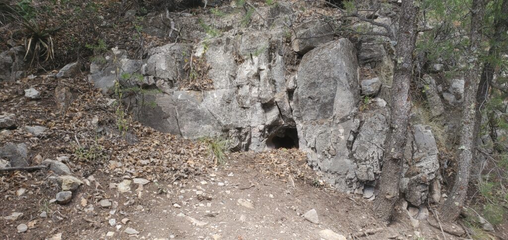
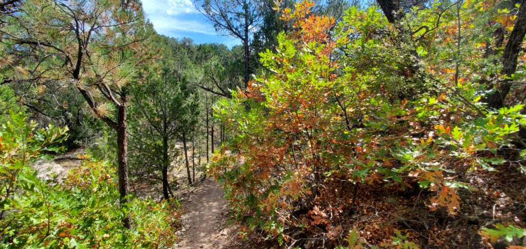
The following two miles were a slow drop to the canyon floor where the trees returned and I found myself on the edge of Air Force property, where live munitions may have been found:
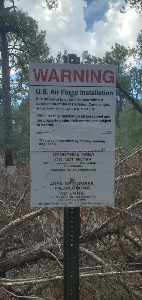
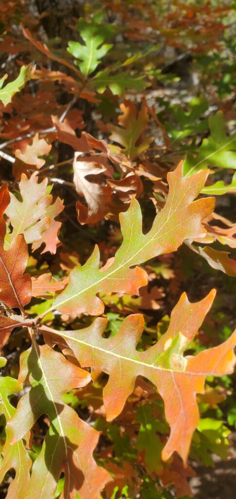
I took a hard right to avoid the military installation and came across some wonderful early fall foliage.
The rest of the hike was fairly uneventful. The scenery returned to the familiar, I had plenty of water, I didn’t fall or anything, I just walked along, enjoying being outside.
Conclusion
As I made it back to my car, I reflected on the hike I’d just done. I wound up covering 5.69 miles in two hours and 45 minutes of moving time giving me a 29 minute per mile pace. Right around half an hour per mile seems to be my normal pace these days. I’m OK with that. It made for a leisurely hike, and I’m not out to break any land speed records.
The trail itself was a perfectly fine trail. Not too strenuous, but certainly more of a challenge than the Cedro Creek Nature Trail that leaves from the same starting point. It’s longer and has a higher elevation gain.
I absolutely see myself hiking this trail again in the future.
I have another WONDERFUL hike to write about; I’m hoping to get that posted later today or tomorrow.
Until then, as always, I’d like to thank you for stopping by. I appreciate you.
-Phil