August 15, 2021
I’m a glutton for punishment, I guess.
After Friday’s outing to Bandelier National Monument, followed by a morning-long outing to the ABQ BioPark and Old Town, I decided to push my aching legs on a near-6 mile hike.
Trail Stats
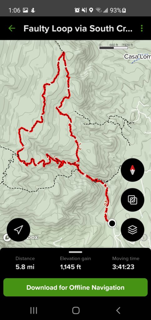
AllTrails has the Faulty Loop via South Crest Trail hike listed as a moderate 5.3 mile hike with a 1,138 foot elevation gain. I picked a great day to push myself to new heights.
Early Start
I had my alarm set for 5:30 Sunday morning with the hopes that I’d get to the trailhead by 6:30 or so. I beat my alarm (as I usually do) but still managed to get to the trailhead at 6:30.
After my experience putting together the YouTube video of the penguins at the ABQ BioPark, I decided to record some video for this hike. I made sure to bring my little tripod to use as a kind of selfie-stick/proto gimbal.
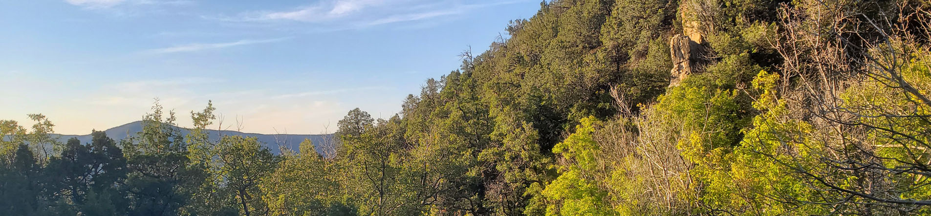
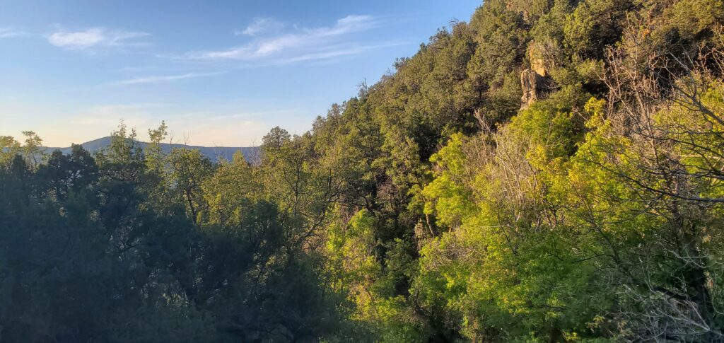
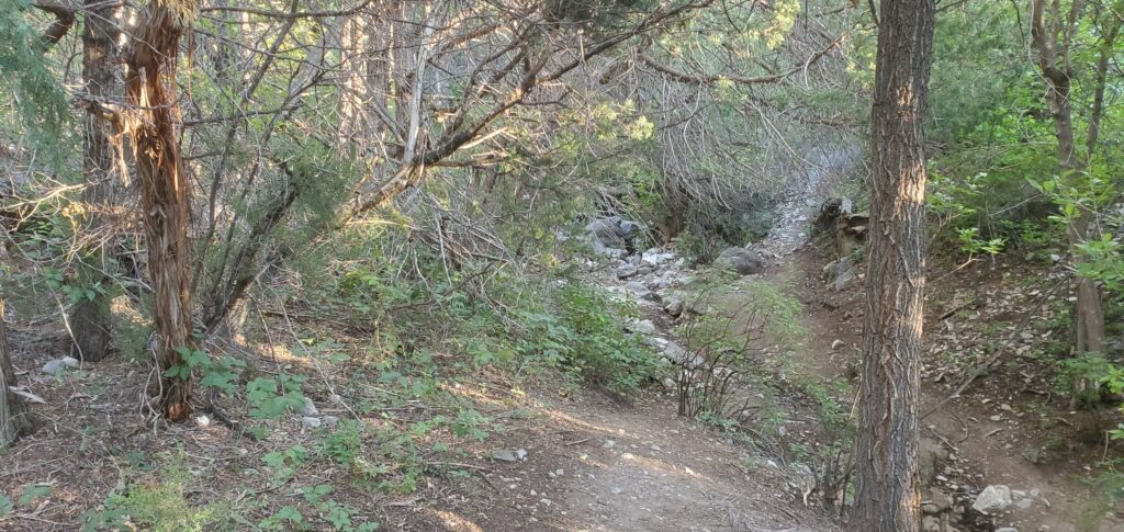
The Hike
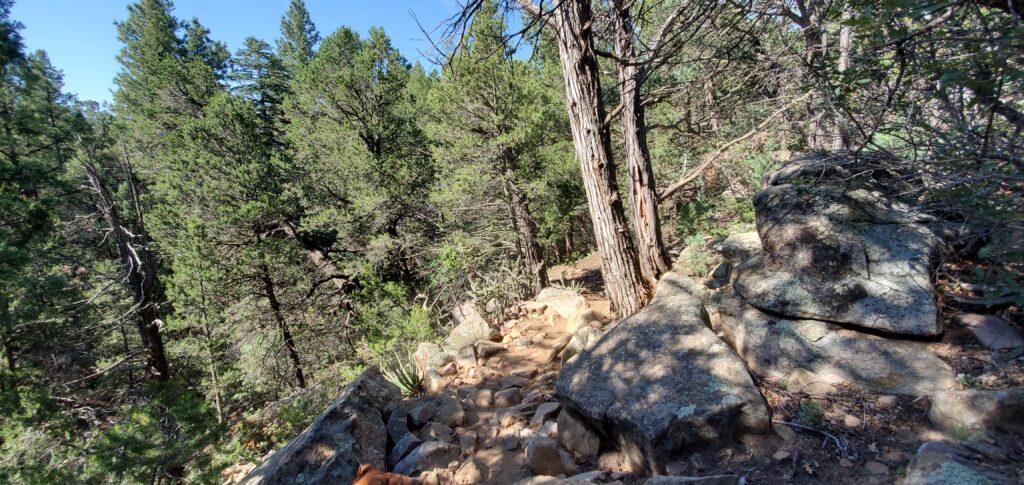
The trail follows the trail I already took to Travertine Falls back in April so I was already familiar with the first half mile of this hike. Once we reached the “falls”, we made a right and hooked around them, winding up on top of the stone cliff face down which I have yet to see water falling.
We trekked along until we came to the junction with the Upper Faulty Trail. We had the option of continuing on the South Crest Trail until it looped around to meet the Faulty Trail, or head up the Faulty Trail to loop back around to the South Crest Trail. I chose the former as it appeared that was a more gradual incline to the high point of the hike.
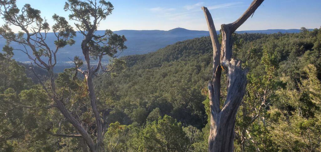
The Apex
At 5.3 miles, the halfway point of this hike is around 2.6 miles. You reach the highest point on the hike at about 3.2 miles into the hike, so just after the halfway mark.
When I did hit that 2.6 mile mark, I stopped to take a break and looked to see how far I was from that high mark only to find out then that I was hiking the loop backwards, which meant that I’d already passed the highest point of the trail. I was a little disappointed at this as I wanted to take some pictures from that high mark but oh well. This meant I was already on the descent back to the parking lot.
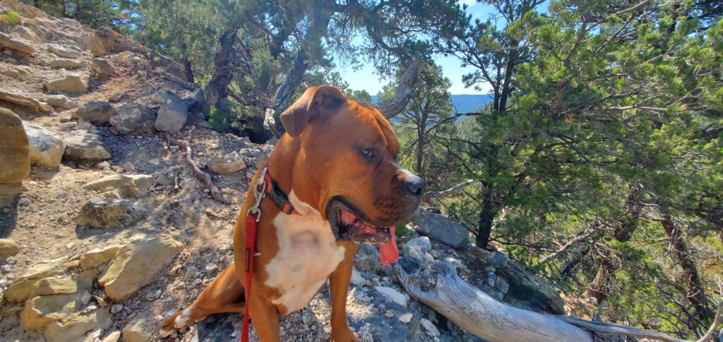
After a brief break for Ash and I to take in some hydration, and for me to get some protein and electrolytes in my system, we began heading down to the car. The trail down seemed a bit more treacherous, the rocks seemed looser and the trail itself decidedly steeper than the way up. Between that, and Ash finding any reason to yank the leash, I found myself off balance for the better part of the way down. Having my trekking poles proved invaluable, although managing them and having Ash on a leash was at times difficult.
We finally found ourselves winding back down to the top of Travertine Falls. We went down the hill and while we were in front of the caves under the falls, I checked AllTrails to find we had already gone 5.3 miles, which is what the app says the entire hike is, and we were still about half a mile from the trailhead.
We continued on our way, encountering more and more people as we got closer to the car. We finally reached the starting point and saw that we had logged 5.8 miles in total.
I officially set new personal bests in distance (5.8 miles), elevation gain (1,145 feet), and MOVING time on trail (3 hours, 41 minutes… my total time on the trail was 4 hours 31 minutes, but that was with stopping frequently to take pictures, videos, catch my breath, and just the general water break at the halfway mark.)
Conclusion
All told, yes, it was a very strenuous hike for me, but nothing I couldn’t handle. I never felt I was in danger, I had plenty of water with me, and, despite his aggressive leash-pulling, Ash did very good on the trail.
I want to continue pushing myself. I do have a short term goal in mind, hiking to Nambe Lake, which AllTrails calls a 6.9 mile hike, but all of the reviews on the site claim it’s closer to 8 miles. But it does give a 2,060 foot elevation gain, and it starts at just over 10,000 feet (the highest I’ve ever hiked is is starting the South Crest/La Luz hike at 10,600 feet, which was the high point of that hike.)
The next, longer term goal then would be to hike to Wheeler Peak, the highest point in the state of New Mexico.
A mantra that I gave myself when I first started hiking is, “Keep going until it’s not difficult any more.” When it’s not hard any more, I will move on to bigger trails.
For the meantime, I suppose I’ll be content with these shorter, 6, 7, 8 mile hikes at an 8, 9, 10 thousand foot elevation until I can build up the endurance.
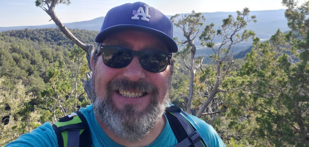
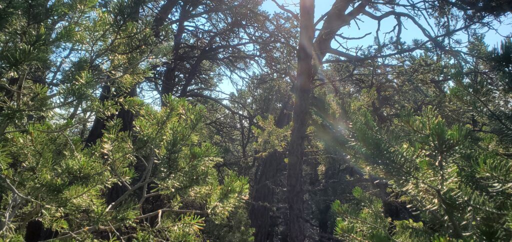
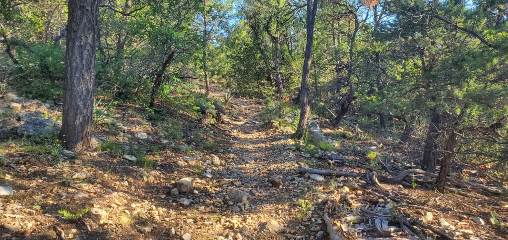
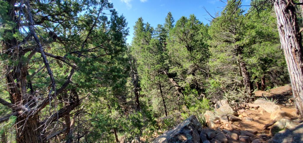
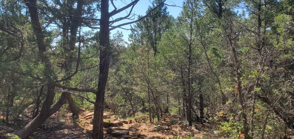
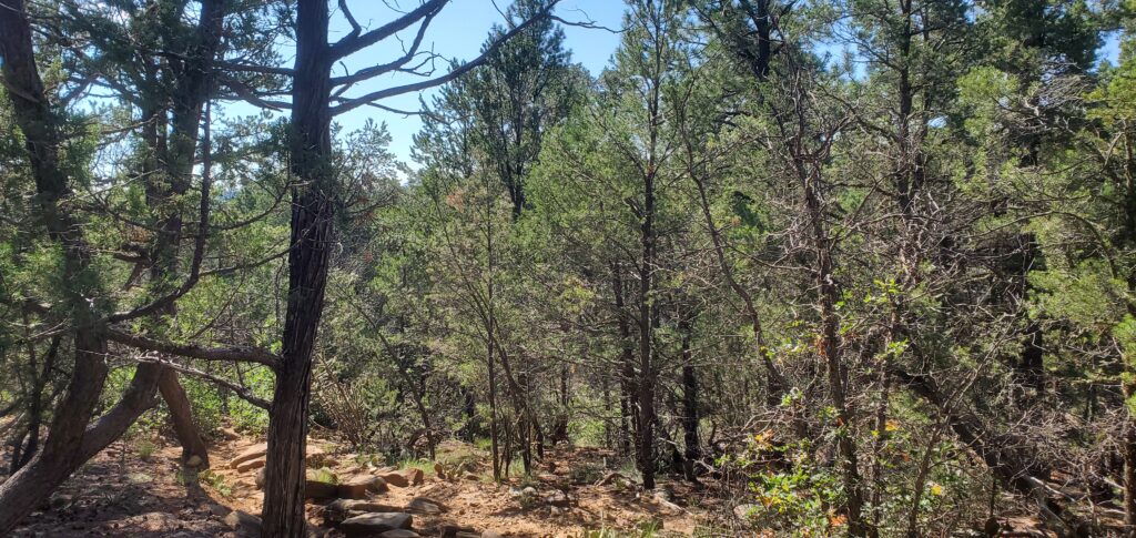
For now, I’ve added pictures of my hike below, as well as the YouTube video I put together with some highlights from the outing.
As always, thank you for stopping by, I appreciate you!
-Phil
Pingback: 10K and Survey Loop – Wandering New Mexican