April 10, 2021
In my efforts to make sure I put in at least one hike per week, I decided to take a trek up the Rio Grande Bosque.
A bosque is identified as a green strip that straddles a river in an otherwise arid climate. Specifically, the bosque I traversed today borders the Rio Grande river that flows though the middle of Albuquerque.
AllTrails classifies this trail as an easy, 3.9 mile out and back trail with almost no elevation gain. Dressed in the same clothes I wore on our walk through up the Cedro Creek Nature Trail last weekend, I wanted to make sure I was cool enough, as it got up to 77 degrees today.
I arrived at the Alameda Open Space at about noon, once more with Ash in tow. I strapped on my backpack and we headed north on the trail. Once you pass under the Alameda underpass, the trail splits into three options, all of which are dirt trails. I opted for the eastern most trail, which is a narrow path between an acequia and a row of back yards. Ash and I encountered lots of loose sand along the way making the hike a little more strenuous than I was expecting.
After a little more than a mile, we came to a bridge that crosses over the acequia to the middle of the three trails along the bosque. The middle trail is elevated, straight and wide. We saw lots of people walking, with and without dogs, and some bicyclists cruising up and down the path. We crossed over and wound up heading down onto the westernmost trail where we started heading back to the car.
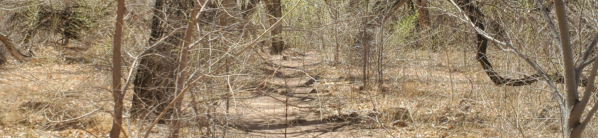
The western trail is a winding trail that snakes through a forest of cottonwood trees, most of which are dead or dormant right now. To our right, or west of us, was the Rio Grande proper, barricaded by large, metal X-shaped structures strung with wire, meant to keep people from approaching the banks of the river. Those eventually petered out though as we approached Alameda and we saw plenty of people on the shore, fishing, wading, boating or picnicking.
About halfway back down that trail, I decided to head back up to the main trail for a more direct, and therefore shorter, trip back to the parking lot.
After a little over an hour of total hiking time, we made it back to the car where I gave Ash one last bowl of water in the air conditioned comfort of the car.
It was hot, I was beat, so was Ash, and I never felt better. All told, I set a personal best on a 2.5 mile hike in an hour 12 minutes. It’s a very flat trail, with AllTrails showing a seven foot elevation gain, but as long as we were out and as far as we went, I was OK with a flat walk.
As usual, I didn’t quite make it the entire length of the trail, but I am making progress. Making it a little further, longer and feeling better each time out.
Brandy and I are planning on heading back up into the Sandias for a hike tomorrow. We’re going to once more try the trail that we went to but decided was too crowded a couple weeks ago.
At least, that’s the plan.
Until then, here are some pictures of the walk we took today.


Pingback: Arroyo Loop Trail, Cedar Crest – The Wandering New Mexican
Pingback: Arkansas Riverwalk Trail – Wandering New Mexican