August 21, 2021
I’d passed the10K trailhead a bazillion times before on the way to Sandia Crest. I’d always assumed the 10K meant it was a 10 kilometer trail, but only recently did it dawn on me that it because it starts at 10,000 feet.
Doy!
I looked up the 10K trail on AllTrails to see what kinds of trails originated form that trailhead. There’s a 10K North trail, a 10K South, then there’s a trail called 10K and Survey Loop.
Trail Stats
AllTrails lists this trail as a moderate 6.4 mile loop trail with 1,187 feet of elevation gain. I’d just hiked just under 6 miles on the Faulty Loop via South Crest Trail, and gained 1,145 feet on that hike, so I didn’t think this one would be all that much more difficult.
Boy, was I wrong.
Departure
I’d wanted to depart the trailhead at around 6:30 am Saturday morning, knowing it was going to be a pretty lengthy hike. Well, my complete and total failure to prepare for the hike didn’t even get me out of the apartment until 6:30. By the time made our requisite stop at Starbucks and arrived at the trailhead, it was close to 8:00.
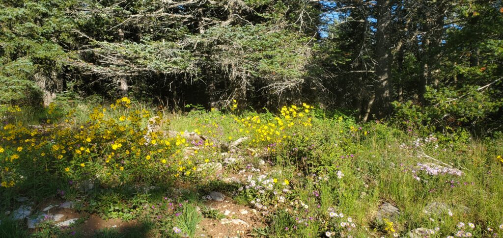
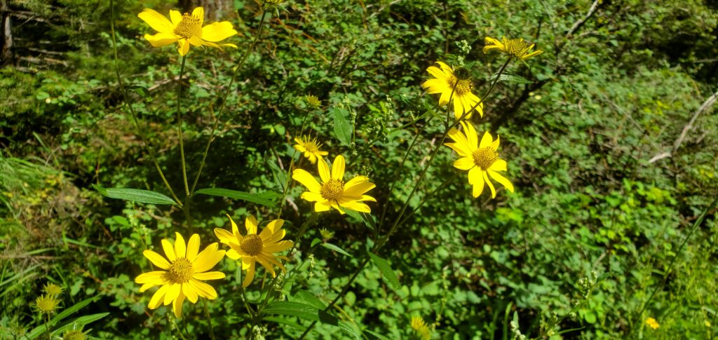
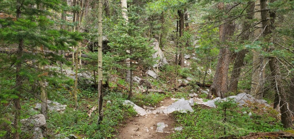
I parked, paid the day use fee and went to the trailhead where the trail starts with a nice little incline before leveling out amongst a field of wildflowers.
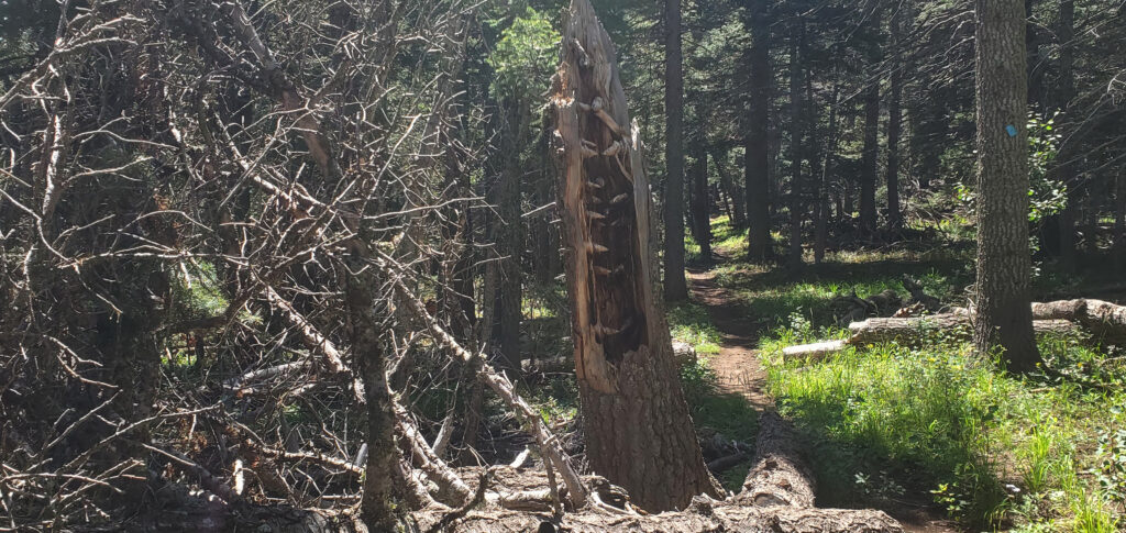
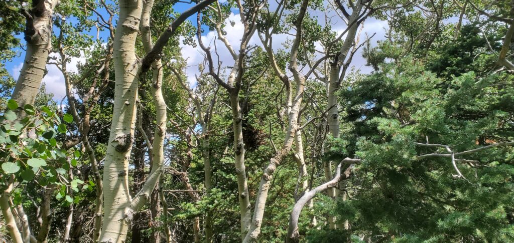
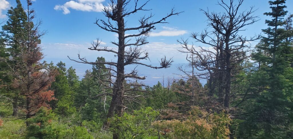
The trail quickly plunged us into the shade of the forest. Surrounded by pines and aspens, and at 10,000 feet, it provided nice, cooling shade for the impending warmth of the day.
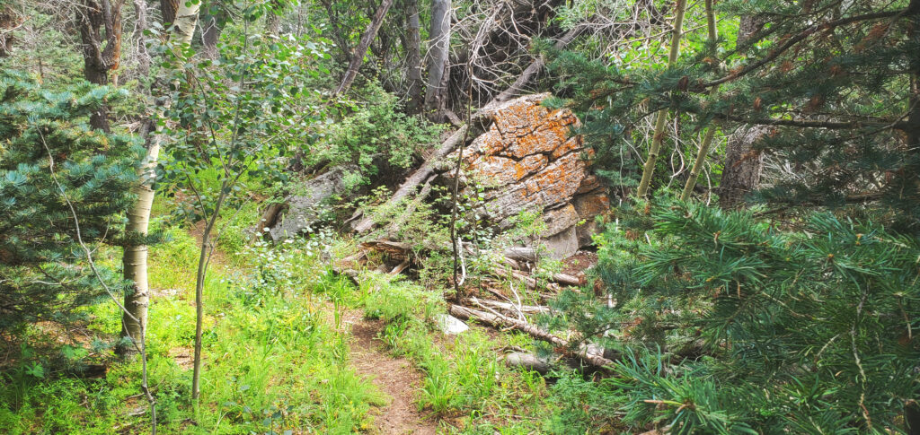
The trail was a nice, smooth dirt trail with some rocks, but not loose scree like on the Faulty Loop and South Crest Trail. I also ran across several tree roots that had been exposed by the weather.
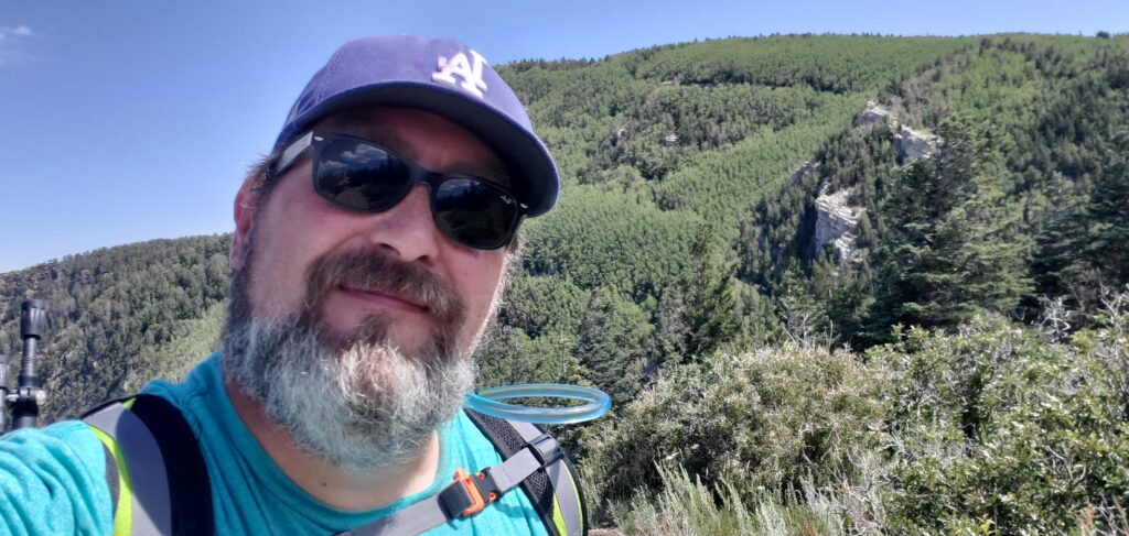
Ash and I trod along at a good clip for a while, only stopping to take some pictures and video- not really needing to stop to rest. Ash was, as usual, very excited to be on the trail so he pulled with all of his might. This proved to eventually be a problem. I concluded later in the hike that approximately 60%-70% of my energy was spent in trying to keep him reigned in. He is a very strong dog, a boxer/pit mix, and even in his small stature, has the strength of a horse. It takes a good amount of my strength to not let him pull me down off of rocks, or down the trail faster than I want to go.
Increased Intensity
At right around the 2 mile mark, there’s a sharp upturn in the grade leading up to the apex of the loop. Grades consistently in the double digits, and a good portion of the time in the 20% range. It only goes on like this for about a half mile or so, but this is when the trail becomes more littered with rocks and higher exposed roots. The trail quickly took a turn for the unkempt.
After watching some videos of hikers on YouTube, I noticed that the new and inexperienced hikers were going extremely slow and taking tiny baby steps up the steep inclines. This was a method I thought I’d try on these steep portions of the trail.
Indeed this methodology helped tremendously but Ash tugging on the leash did not relent. I was constantly fighting him to try to keep him close.
As we continued, the trail narrowed significantly and was in many spots overgrown with grass and shrubbery hanging over from the sides of the trail. Being in shorts, I found myself being nicked fairly regularly with small stems and branches. Thankfully, nothing with thorns got me so I escaped with no broken skin. Just some mild irritation below the knees.
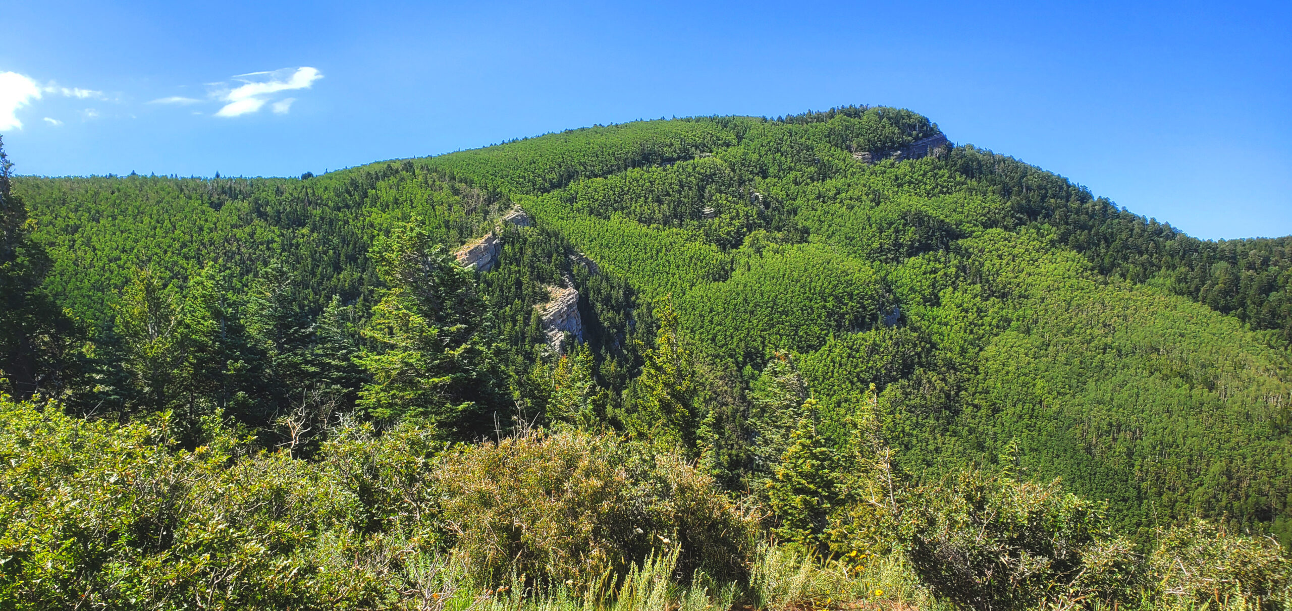
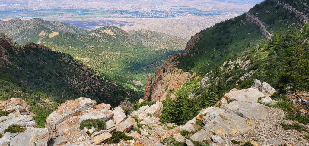
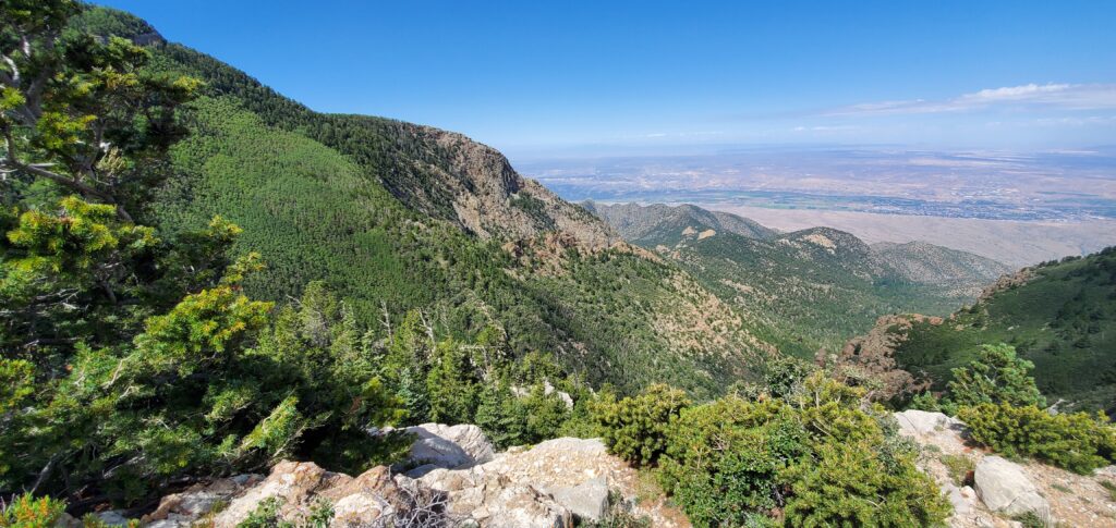
We continued up and up and up, when at just over about 3.5 miles, we happened upon an overlook that absolutely took my breath away.
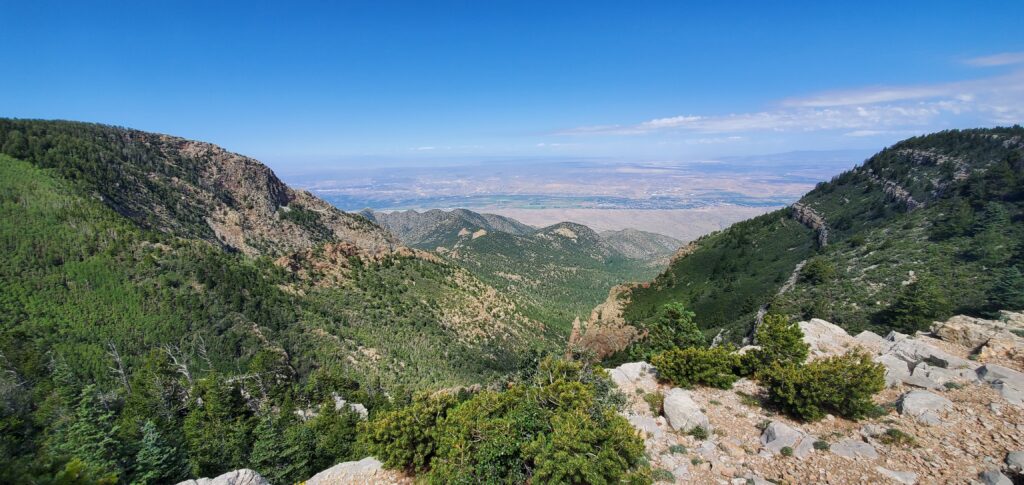
According to AllTrails, the hike is 6.4 miles, so at just over 3.5, I thought this was as good a place for a break as any.
There’s a stone bench, perfect for sitting for a snack and water break, so I sat down, unstrapped my pack and… realized Ash’s collapsible water bowl was gone. I knew it was on the pack when we left the trailhead but it was gone now.
With no other option, I uncapped the water bottle that was holding his water and tilted it up to his mouth, trying my best to get him to drink from it like he’s a human. He did get plenty of water but there was still spillage, which I really wanted to try to avoid, knowing we’d be out for a long time.
After he’d had his fill, I took a drink of the flavored water I’d brought and broke out the bag of trail mix I’d been working on for the two hikes prior to this one. I was happily munching away when Ash jumped and tugged on the leash knocking the bag of trail mix from my hand, it landing upside down on the dirt at my feet.
Needless to say, I was a little upset, but it wasn’t an intentional act by Ash so there was no point in getting upset at him. I simply tucked the empty bag into my pack, took a last sip of my flavored water and went about our hike.
About a quarter mile down the trail was another overlook with a stunning view but there was a group already there, not that it would normally be a problem, but they had a dog with them. Ash predictably started going bananas trying to get to that dog so he could play. I had to forcibly drag him away. As I dragged him along, another couple approached from the opposite direction. They ducked down what I thought was just a spur trail to let us pass (I was so wrapped up in trying to get Ash away from that other dog and getting past these people that I didn’t read the sign.)
Wrong Turn
There’s a series of inbred cannibal horror movies called Wrong Turn. Thankfully this wrong turn didn’t end quite as disastrously.
I got over a quarter of a mile down the wrong trail before I decided to check AllTrails to make sure we were indeed heading in the wrong direction. Once I found out we were on the wrong trail, I followed it down on the map to see if I could cut across anywhere to meet up with the trail where we were supposed to be but there was no intersection for a loooong time. Begrudgingly, I turned us around and headed back up to that intersection just past the second overlook.
Back on Track
Once we got back on the correct trail, there was a slight downturn before we started up a mile long climb that saw us gain 800 feet in elevation. It was a steady climb, not hitting any crazy grades, but that kind of climb in about a mile is still strenuous, especially for someone in my kind of condition. This is the stretch of the hike where I stopped for many breaks.
Ash continued with the vicious pulling on the leash and I’d had enough of it so I broke the rules and took the leash off. As expected, he dashed away the second he’d realized he was off leash, but true to form, only got about 25 feet ahead of me before stopping to make sure I was coming. There were a few times where he’d turn a corner and when I’d call him back, he’d come sprinting back down the trail at me like a madman… or… mad… dog… not mad like with rabies but… well, you know what I mean.
There was a point where I’d stopped to try to send a message to Alan telling him that I was running behind and wouldn’t be done with the hike at the forecasted time (just get it queued up in Messenger and let it send when I get enough signal) when we were approached from behind by another hiker with his off-leash dog. As soon as he saw me leashing up Ash, he leashed up his . As they passed, Ash once more went ballistic trying to play. I let them get well ahead of us before letting Ash off the leash again. Again, predictably, he dashed ahead trying to catch up to what he thought was going to be his new play pal. He never did catch up to them so he came back and stayed close.
Crossing the Highway
As I scoped out the trail the night before, I’d seen that the trail actually crosses the highway that takes travelers up to the crest twice. I didn’t know if there was a culvert we’d travel through, or if we’d be crossing at the level of the road. About a half a mile from that crossing, the trail begins closely paralleling the road. During that time, I could hear the traffic running on the road. When we hit the 7 mile mark on our hike, we went up a slight incline and we stood at the edge of Sandia Crest Scenic Byway.
We waited for a sufficient break in the traffic and made our way across the road. Before long, the Survey Trail turns into the Switchback Trail which soon turns into the Challenge Trail.
Detour
The Challenge Trail continues following the highway until the road begins a deep switchback. The trail continued on it’s path, effectively cutting the switchback in the road.
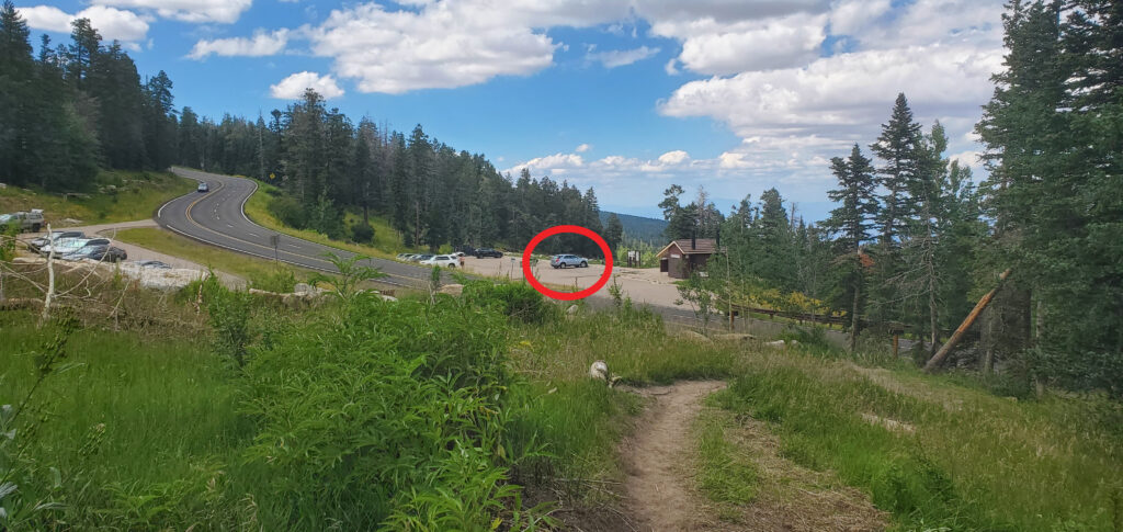
Well, just before the road begins it’s switchback, we encountered a large, pink X made with trail marking tape and a sign saying the trail had been rerouted. We followed this new route and, as it turns out, the new trail follows the switchback in the road adding an extra half mile to the hike. One benefit to the trail following the road so closely is that there’s a point about a quarter mile from the end of the hike where you can see the parking lot where we parked through the trees, down a 20 foot tall hill and across the road.
We continued on the path and as we emerged from the trees and into a large meadow, I saw the greatest sight on this hike.
With the end so clearly in sight, I gained a new pep in my step. Ash and I pushed through the last bit of the hike, crossed the road and got into the car at 3:05, just over 7 hours after we departed.
Conclusion
It wasn’t particularly hot out. In fact, when I started the car, it told us it was 63 degrees out, but I immediately cranked the AC and drafted a message to Alan declaring our safety.
All told, we hiked 8.7 miles and accumulated over 19,000 feet in elevation gain, but AllTrails only credits hikers with net elevation gain (from the lowest point to the highest point) so that trail only gave me 1,434 feet. I guess I shouldn’t complain, it was still a new personal best.
My feet were killing me, my legs were awfully cramped up, my shoulders and neck were hurting but at the end of it all, I felt so accomplished. I wish I’d taken a closer look at the elevation profile of this hike before committing to it (not that it would have prevented me from doing it, but rather so I had a better idea of what I was in for.)
I pulled out of the parking lot and headed back down the mountain. I was starving.
Epilogue
Since most of my food wound up on the ground at the high point of the hike, I was starving. I decided we’d stop by Burger Boy in Cedar Crest. If you remember, I stopped there after my trip to Tinkertown in April and thoroughly enjoyed it.
I looked up directions (I knew where it was, I just wanted to see how long it was going to take to get there) and saw it was going to be closing at 4:00. It was 3:30. From the intersection of Hwy 14 and Sandia Crest Scenic Byway, there was no way it was going to take half an hour to get there. I made the drive in like 5 minutes, pulled in, parked and got out to order.
I ordered a double patty green chile cheeseburger with fries and a patty with cheese and bacon for Ash, and a root beer to wash it down. They did have a sign saying their prices were going up due to their rising costs but my total was $21. Seemed high for a hole in the wall burger joint. I paid it anyway and went back to the car to wait for my food.
It took over 20 minutes for it to come out. When I reached into the bag to pull my burger out, it was only half wrapped and half of one of the patties fell off and back into the bag. I wrestled with the whole mess for a bit, just trying to get Ash’s patty out so I could get him going before attacking my own food. I finally got him situated before digging in to my burger.
I don’t recall the patties at Burger Boy being quite so beefy. I had a hard time stuffing it into my mouth. I finally managed. As I ate, the juices from the burger, the green chile and everything else were getting everywhere. It got to the point where I couldn’t wait to finish eating just so I could get rid of the wrapper I was tangled up in as I ate.
I finally finished the burger and shoved the nasty, greasy paper back into the bag… before remembering I still had fries on the bottom of the bag.
I did my best to fish them out without tangling with the burger wrapper, and eventually just gave up, probably leaving half of the order in the bag.
Note to self: next time, just get a single, and eat at a table.
When I finished, I downed my root beer and got us back on the road, taking streets all the way home.
When we got home, I took a shower, downed a handful of ibuprofen and was asleep for the night at 8:30 on a Saturday night like a champ,
I wound up sleeping 10 hours last night. When I woke up this morning, I was sore, sure, but not nearly as bad as I thought I’d be.
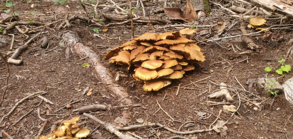
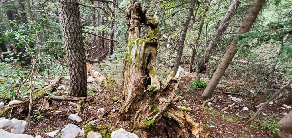
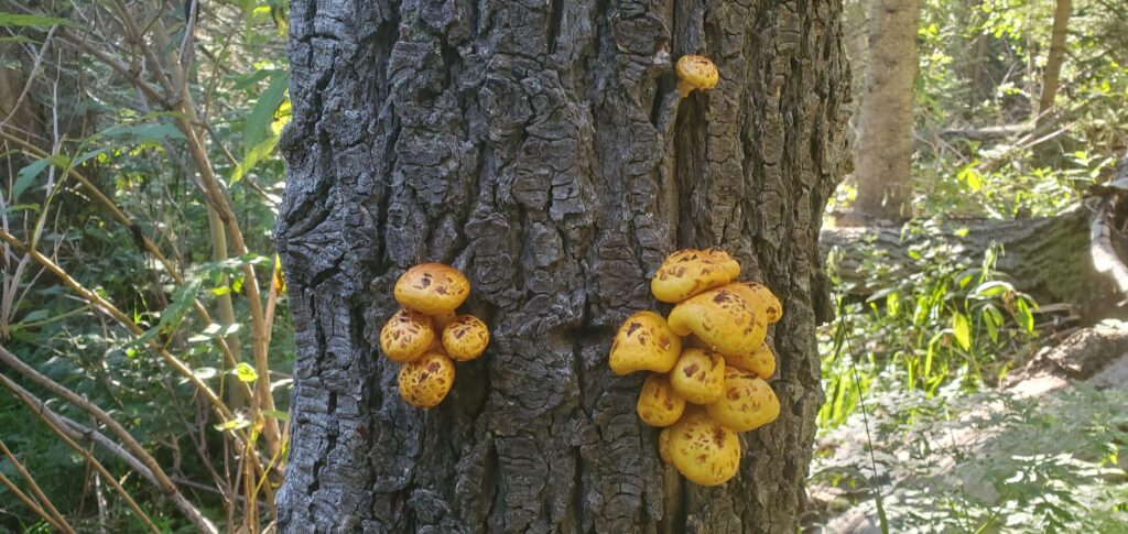
I didn’t get as many pictures as I’d hoped, mainly because I was so busy wrestling with Ash, but the few that I did get are pretty good. Those pictures follow.
But before I get to them, I leave you with a quote that looks to be modified from an original quote by Jordan Hoechlin:
It doesn’t get easier, you just get stronger.
Hoechlin originally said “…you get better” which, sure, I agree with, I just like the sound of “…you get stronger” in this context.
As always, I thank you for stopping by. I appreciate you!
-Phil

Pingback: North Sandia Peak Trail – Wandering New Mexican